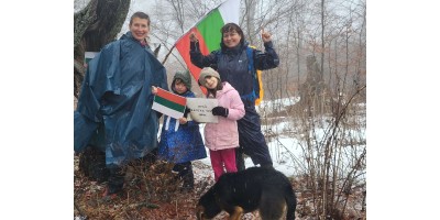
A day off in Rila Mountain and Beli Iskar Eco Trail
If you want to have a light walk and organize a picnic - do not think so, Eco Trail Beli Iskar is a wonderful place for this purpose. It can be reached by car, which you can leave in the car park at the beginning of the trail.
September has just started. The weekend was approaching. Three days off. The weather promised to be nice and we wondered where to go for a family walk with children.
Our original idea was to go up to the Seven Rila Lakes. I really wanted to see them again this year, to enjoy the spacious and vast view, especially after the spring Covid-19 pandemic, but unfortunately, our friends who had gone last weekend told us that we should wait a long time for taking the lift. Over an hour and a half. That's why we needed to invent a Plan B. I dug through the internet and found great reviews for the Beli Iskar Eco-Trail. We prepared backpacks and sandwiches and went for a walk.
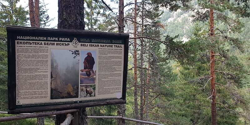
This eco-trail is one of the best-maintained eco trails I have walked. It starts a little above the village of Beli Iskar near the town of Samokov and its route goes around the river Beli Iskar, crossing it at times through picturesque bridges. There are many places to rest and places to relax, where you can light a fire and have a barbecue if you are prepared ????
If you want to take a light walk and organize a picnic - you do not have to think so, the place is great for this purpose. It can be reached by car, which you can leave in the car park at the beginning of the trail.
How to get to the eco-trail?
After passing through Samokov, we deviated to the village of Govedartsi and the village of Beli Iskar. To the left and right of the road, there is a huge raspberry grove where you can stop and buy delicious raspberries all year round.
The trail itself starts 3.9 km above the village of Beli Iskar. There are also signs in the village, but to avoid confusion, follow the main road and keep to the right at each crossroads. After leaving the village, the road becomes a bit narrow and unfortunately broken, but it is passable by car.
It passes near a chapel on the left and reaches a well-organized car park on the right side of the road. You can leave the car there. The trail itself starts with the first bridge, which is located on the left.
Features of the terrain
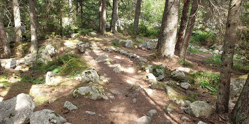
The trail has a total length of 7 km and goes first against the river and then along the river. It makes something like a circle, one time on the left, one time on the right side of the river. It is suitable for small children. We also met families with 2-year-old babies.
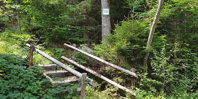
The trail is marked quite clearly. You must follow the blue markings and you are on the right way.
There is a shelter in the middle of the path. It's like kind of mid-stop. There the path begins to return.
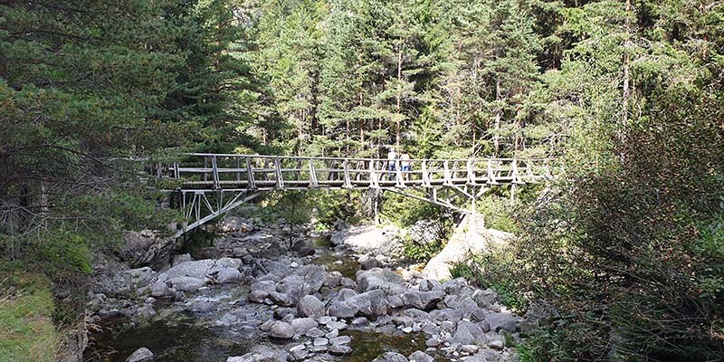
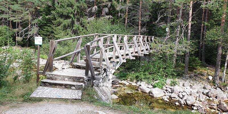
There are a total of 8 bridges, most of which are well built and secure. From them, you can see the river and take great pictures.
After the 8th bridge, you go out on the asphalt road. Take a right in the direction facing the cars. It is very important not to miss the opportunity to enjoy the wonderful panoramic view. It is approached from the left side a little further down the asphalt road. There is a sign Panoramic view. You enter the forest again and follow the blue markings again. The trail reaches the Panoramic Terrace, from where there is a wonderful view of the opposite hills and the river.
How long does it take?
The transition takes no more than 2-3 hours without counting the breaks. And when you are with the children there are breaks. We had fun throwing stones, looking at different plants, it was full of wild strawberries, which one can enjoy if you go at the right time of the season when they ripen. There are many blackberries and raspberries.
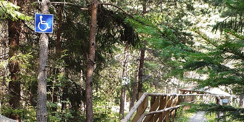
I was very pleasantly surprised that some of the bridges were adapted for access by people with disabilities under a European program project. There was also an information center in front of which there is a large parking lot, but it was closed this weekend.
For those who are lazier - the asphalt road runs along the river. There are many convenient places to stretch a hammock or make a mini-camp and relax all day by having a barbecue. There were many people who had organized a picnic. Picnic areas are marked. There are also built fireplaces for safe fires. If you choose this eco-trail you can't go wrong.
You will enjoy a wonderful day in the mountains.
-400x200.jpg "How to get to Aleko Chalet on Vitosha: routes and transport - Extreme-bg.com")
-400x200.jpg "From Avramovo to Ortsevo - Extreme-bg.com")